RPAS

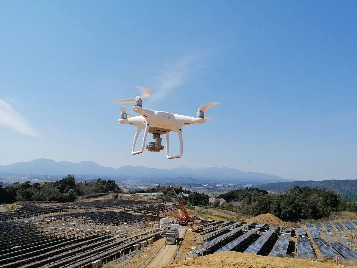
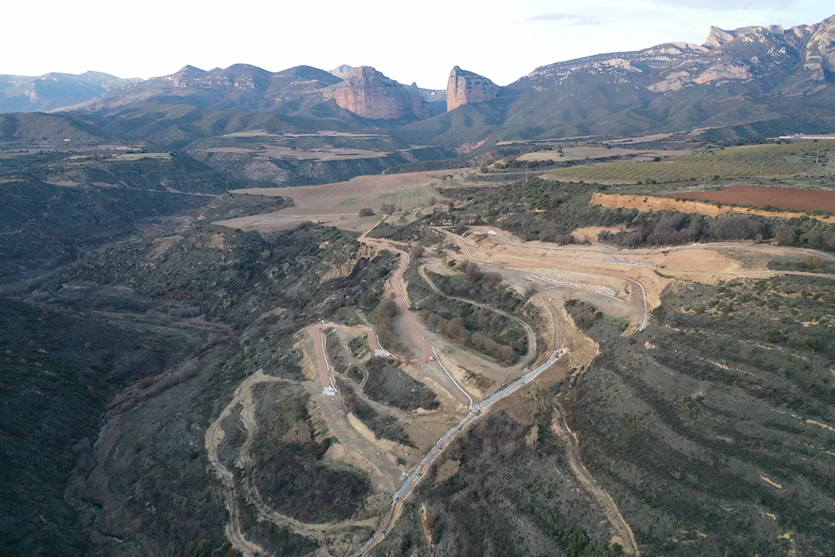
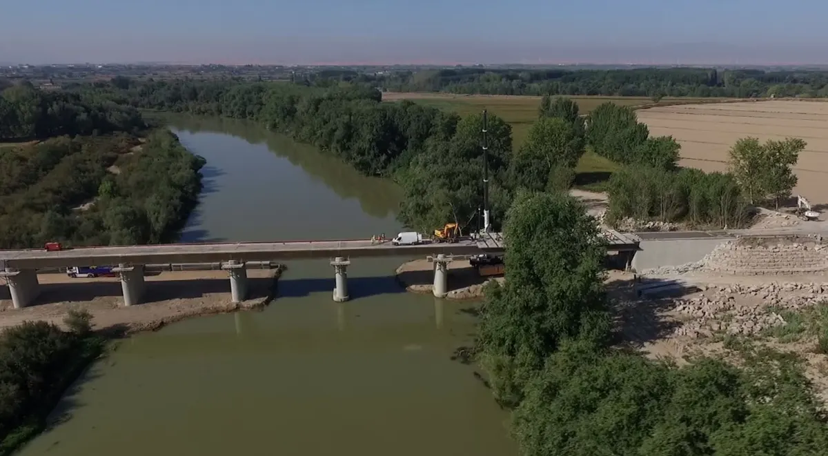
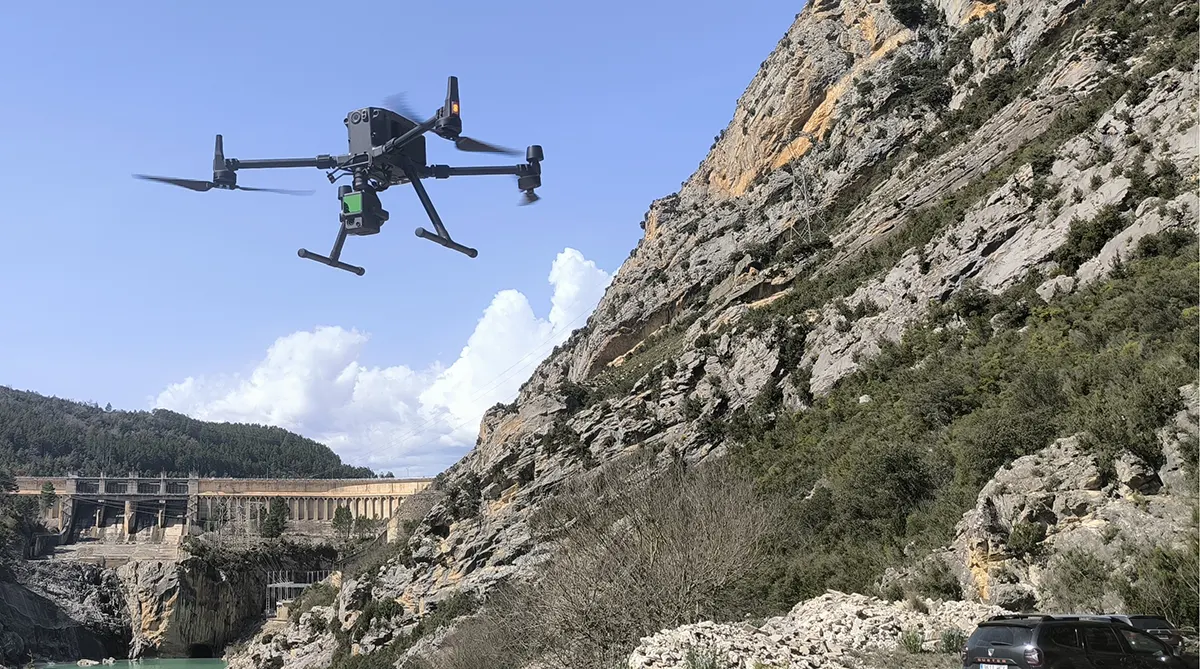
At Proesza we use RPAS systems (drones) to carry out high-precision topography and aerial mapping work. We have EASA accredited pilots and state-of-the-art equipment to provide accurate data for measurements, modelling and monitoring of works.
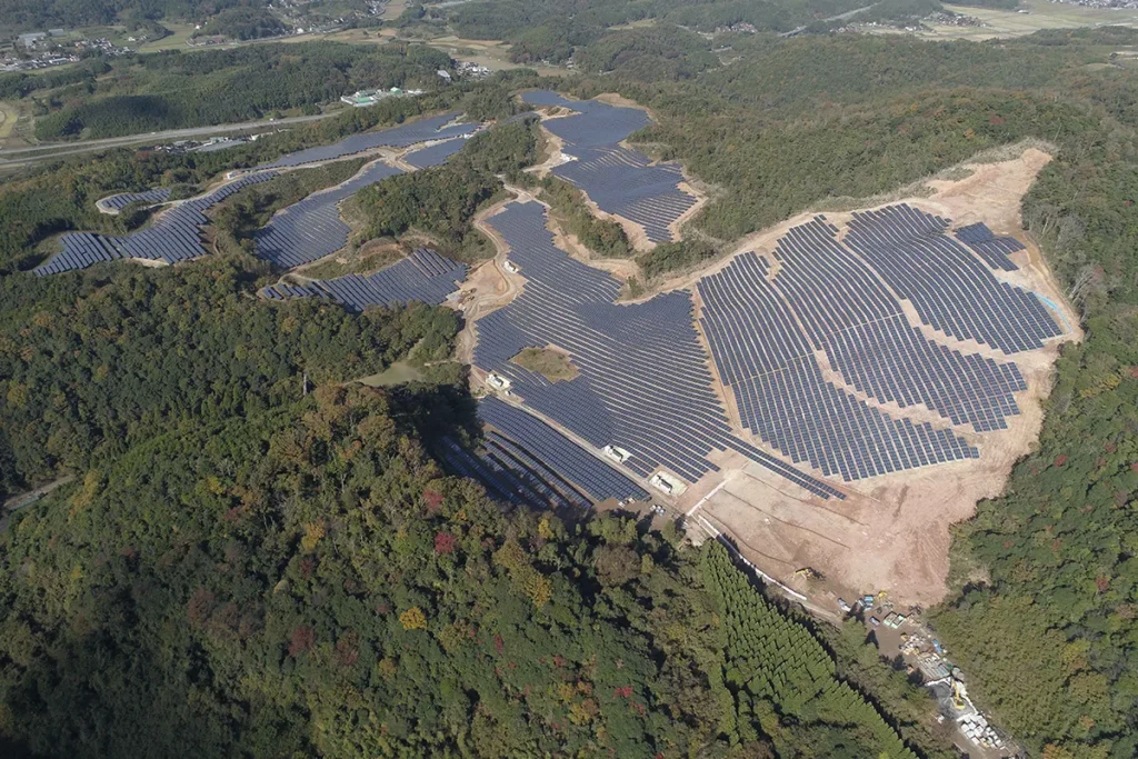
topography in construction of photovoltaic park in kurayoshi japan proesza

Key services

Precision aerial mapping with unmanned aerial vehicles (UAVs).
Photogrammetric 3D modelling for engineering and urban planning projects.
Measurement of surfaces and volumescalculation of distances and cubic metres.
Follow-up of works through periodic and comparative surveys.
Topographic data processing integrated with specialised software.

Sectors and applications

Civil and industrial projects
Solar parks and renewable energies
Urban developments and urban planning
Landslide study and environmental monitoring

Methodology and guarantees

Our RPAS work combines planned flights, high-resolution data capture and advanced data processingWe guarantee maximum reliability in topographic information. In addition, we ensure compliance with air safety regulations thanks to the official accreditation of our pilots.

Technology and tools

Certified UAV drones by EFSA.
High resolution cameras for aerial photogrammetry.
3D modelling software and volumetric calculation.

Quality and environment

The use of RPAS reduces costs and minimises environmental impact, offering fast and safe solutions under certifications. ISO 9001 e ISO 14001.

Cases and results

Reduction of lifting times

versus traditional methods.

Digital terrain models

to the nearest centimetre.

Efficient monitoring of works

through regular measurements.

Frequently asked questions

Contact us

We are at your disposal to study your project and offer you the best technical solution.

Call us now

976 22 41 56

A Proesza technical advisor will guide you directly and professionally in all your needs.